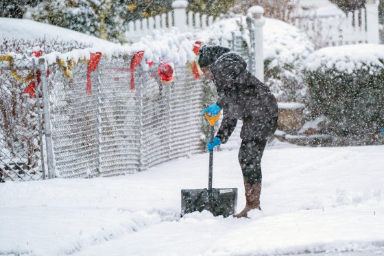
Despite the news that a white Christmas is not anticipated later this week, people in the Northeast woke up to the sight of snow on Saturday, the first day of winter.
The amount of snowfall varied from a dusting to six inches, with Milton, Massachusetts receiving the most, 9.4 inches. A powerful cold front looming over the area Saturday afternoon, with daytime highs around 10 to 20 degrees below normal, helped push snow showers offshore.
There could be more snow. Dispersed Winter Alerts were in effect until the afternoon on Saturday night in areas of the Great Lakes and mid-Appalachians. An extra dusting of snow, up to two inches, might fall in some regions. On Saturday, breezy gusts of up to 35 mph are also anticipated.
On Saturday night, freeze alerts are in effect for southeast Georgia and northeast Florida due to the chilly temperatures. Additionally, isolated areas of New York, western Massachusetts, and northeast Pennsylvania are under a cold weather advisory for Saturday night.
Rain and snow fall in the northwest
On the opposite side of the nation, mountain snow is falling from the Cascades to the Sierra Nevada and will eventually reach the northern Rockies, while torrential rain is falling in northern California and continuing up through Washington state.
As low pressure systems come onshore, the area will continue to see rain and mountain snow. While rainfall totals through Sunday vary from 0.5 to 3 inches, higher elevations could anticipate a few more inches of snow.
In the west, wind is also a problem, with potential gusts of up to 65 mph. Parts of Wyoming, Oregon, and California are under alert.
It’s not wintry all over the U.S.
Records might be set in Phoenix, Tucson, Palm Springs, and Las Vegas on Saturday when temperatures in the western half of the country rise 10 to 25 degrees above normal.
With highs up to 30 degrees above normal, this warmer air will move across the Plains by Sunday. Phoenix, Palm Springs, San Jose, and Tucson might set records on Sunday.
Throughout the week, the warm air will progressively move across the lower 48 states of the United States, reaching highs of 10 to 20 degrees above normal in the west and central U.S. by Monday.
Temperatures will be warm on Christmas Eve and Day, with average or higher highs across the nation. Temperatures in the Mississippi Valley and the Plains will occasionally be up to 20 degrees warmer than usual.
Though a wintry Christmas Eve is even more likely, a snowy holiday is still feasible in some parts of the country due to the higher temperatures.
Note: Every piece of content is rigorously reviewed by our team of experienced writers and editors to ensure its accuracy. Our writers use credible sources and adhere to strict fact-checking protocols to verify all claims and data before publication. If an error is identified, we promptly correct it and strive for transparency in all updates, feel free to reach out to us via email. We appreciate your trust and support!
