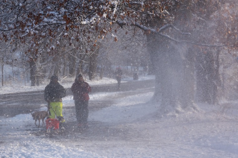
In the Northeast and Great Lakes regions, where some residents might wake up to a white Christmas, around 10 million people were under winter weather alerts on Monday.
The National Weather Service issued an advisory on Monday that stated, “An arctic surface high will slowly move east across the region, giving much of the East Coast region a very cold start to the holiday week on Monday.”
The weather agency said Sunday was “the coldest morning of the season thus far” for numerous Northeastern and mid-Atlantic states. Although a little milder than Sunday, Monday was predicted to be another frigid day.
Over the weekend, snow was already falling in the Northeast, and more is expected. While weather in the north are predicted to deteriorate with a crust of ice and the possibility of 2 to 6 inches of snow from the Great Lakes to Maine, there is a chance of some light precipitation moving through New York City on Tuesday.
New York, Boston, Chicago, and Detroit are anticipated to be the cities most impacted.
However, it’s still unclear if locals can anticipate a snowy Christmas.
The prerequisite for a white Christmas is at least one inch on the ground, which is unlikely to happen in New York City, but some snow showers are possible elsewhere in the region the day of Christmas Eve. The inner Northeast and into Maine are predicted to see the most snow.
However, there is one thing inhabitants of the Northeast and Midwest can be sure of: a chilly Christmas.
According to the weather service, “heavy rain and mountain snow” will return to the West on Monday night.
“Although the storm system will be progressive overall, there will be a deep surge of moisture ahead of the cold front that will intersect the coastal terrain and the western slopes of the northern Sierra Nevada,” the National Weather Service stated. “Rainfall totals on the order of 2-4 inches, and locally higher, are likely across this region through Tuesday evening.”
The highest elevations in the central and northern Sierra Nevada are predicted to receive up to a foot of snow from this same storm system.
Note: Every piece of content is rigorously reviewed by our team of experienced writers and editors to ensure its accuracy. Our writers use credible sources and adhere to strict fact-checking protocols to verify all claims and data before publication. If an error is identified, we promptly correct it and strive for transparency in all updates, feel free to reach out to us via email. We appreciate your trust and support!
