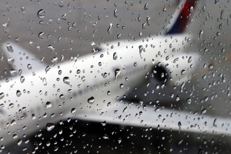
As winter-pattern storms continue to move across the continental landscape from west to east, forecasters are increasingly predicting a cold and rainy Thanksgiving week.
According to the Transportation Security Administration, the potentially rainy, snowy, and chilly weather might coincide with what is expected to be the busiest Thanksgiving travel week to date.
According to NBC News meteorologists on Saturday, a lot of the country will continue to experience active weather over the holiday week. According to them, Wednesday and Thursday might see a storm system that produces both rain and snow, but there was little confidence in the specifics.
According to the government Weather Prediction Center, a diagonal low-pressure front with rain, snow, and plunging temperatures was likely to affect the Mid-Atlantic and Northeast on Thanksgiving.
According to the center, the diagonal front may extend from Mississippi to Pennsylvania, and the amount of snow would depend on the temperature.
According to the Chicago-area National Weather Service office, snow and associated travel disruptions might occur from Kansas City, Missouri, to Cleveland on Thanksgiving, however it is currently difficult to predict exact amounts.
Ice-cold air is expected to arrive midweek, according to a prediction discussion from the Minneapolis National Weather Service office.
According to the forecast service, “the arctic front arrives on Thanksgiving Day proper.” “This boundary’s greatest effect will be the significantly lower-than-normal temperatures we’ll have at the conclusion of the month. Black Friday is probably going to start with wind chills below zero degrees.
The National Weather Service office in Portland, Oregon, predicted that early this week, a storm off the Pacific Northwest coast would move into sections of Oregon and Northern California, bringing rain and snow at elevations of 3,000 to 4,000 feet.
After that, it was predicted that the system will proceed toward the Midwest, where significant snowfall was expected.
Such a precipitation pattern would be in line with the month’s winter-style cycles, which have seen storms from the Pacific Northwest turn south and east and move over the middle of the country, frequently bringing rain in some places and snow in others.
This week, a front with an atmospheric river of streaming precipitation overhead hit Washington, Oregon, and the northern parts of California, causing historic rain and two fatalities.
Nearly 12.5 inches of rain fell in three days in Santa Rosa, California, which the Monterey weather service office reported was an unprecedented 1,000-year occurrence.
18.3 million individuals were anticipated at TSA security screening facilities between Tuesday and December 2, setting a record event for the week. During the week, 71.7 million people are expected to travel across the country, according to AAA.
If a motorist becomes stranded in snow, they should stay in their car and attach something colorful to an antenna or other high point to signal first responders, according to the Pittsburgh-area Airport Corridor Transportation Association.
It stated that in order to prevent carbon monoxide poisoning, automobile heaters should only be used for ten minutes or less per hour. According to the association, windows should be slightly opened for the same purpose.
Additionally, the group stated that vehicles should be adequately fuelled, have emergency and first aid kits, and be inspected for bad tires before setting out on any excursions.
Even if the weather is acting like winter, December 21 marks the start of astronomical winter, which won’t happen for almost a month.
Note: Every piece of content is rigorously reviewed by our team of experienced writers and editors to ensure its accuracy. Our writers use credible sources and adhere to strict fact-checking protocols to verify all claims and data before publication. If an error is identified, we promptly correct it and strive for transparency in all updates, feel free to reach out to us via email. We appreciate your trust and support!
