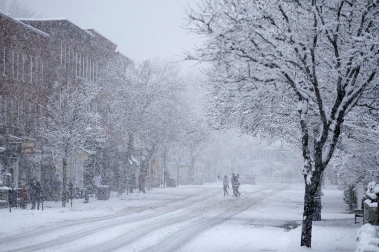
Before you leave, remember to check the local forecast: Around 9 million people in the South are under freeze warnings, and snowfall could disrupt travel plans in the northern Plains and Midwest after Thanksgiving.
A strong lake-effect snow event is predicted to continue into the weekend in the Great Lakes region before easing off early the following week. From northern Minnesota into upstate New York, six million people were under winter alerts on Friday. Snowfall totals downwind of Lake Erie and Lake Ontario were predicted to be three feet or more.
The National Weather Service says an Arctic airmass is delivering the coldest air since last winter to the Midwest and Plains, as well as to the South and East Coast. It is expected to continue into the week after the weekend.
According to the meteorological service, Saturday morning wind chills in the upper Midwest and northern Plains will be below zero, and in some areas of North Dakota, they may reach negative 30 to 40 degrees.
A state of emergency was proclaimed by New York Governor Kathy Hochul on Friday, and it immediately took effect in the counties of Allegany, Erie, Cattaraugaus, Chautauqua, Genessee, Herkimer, Jefferson, Lewis, Oswego, St. Lawrence, and Wyoming.
Thundersnow, a rare weather phenomenon that mixes a snowstorm with thunder and lightning, may accompany the sometimes blinding 3 to 4 inch per hour snowfall rates. The greatest snow accumulations will occur east of Lake Ontario, with isolated locations near the Watertown, New York, area potentially receiving up to 60 inches of snow.
According to the National Weather Service, by Friday evening, snowfall of at least 20 inches had fallen in several locations along the Lake Erie shoreline in Ohio, Pennsylvania, and New York.
The bureau said that Erie, Pennsylvania, had recorded the most, at 30 inches.
Between Cleveland and Buffalo, driving on Interstate 90 could be particularly challenging. Erie County Executive Mark Poloncarz of New York announced at a press conference that the interstate was stopped in Pennsylvania late Friday afternoon between interstate 79 and the New York state line.
North of Syracuse, New York, Interstate 81 is another route that can be impacted. Because Highmark Stadium is located in Orchard Park, a town that is expected to receive between 12 and 18 inches of snow, with higher amounts likely, the Sunday Night Football game between the San Francisco 49ers and the Buffalo Bills may be buried beneath snow.
The Buffalo Bills asked their ardent supporters, known as the “Bills Mafia,” to sign up on X on Friday to help shovel snow at the stadium.
During the media conference, Poloncarz stated that the bulk of the snowfall is expected to fall on Saturday and Sunday, with central and southern Erie County likely to be the most severely affected. According to Poloncarz, the southern part of the county may receive more than three feet of snow, while the middle parts may receive two to three feet.
According to police, a collision along U.S. Route 131 in Grand Rapids, Michigan, on Thursday night that injured several persons was most likely caused by wintry weather. Authorities did not specify how many people were injured in the incident. Police stated that up to 15 automobiles were involved in the crash.
Between Sunday and Thursday, U.S. airports were crowded with passengers traveling to Thanksgiving destinations. Over 232,000 flights were safely relocated around the nation between those days, setting a record for Thanksgiving week, according to the Federal Aviation Administration. On Tuesday alone, more than 52,000 planes transported people to their destinations.
On Friday, freeze watches and warnings were in effect for around 9 million people in the South, which stretches from Texas to the Carolinas.
With an Arctic air mass extending southward from Canada, weather scientists predict that the coldest air in the South will not yet arrive.
Note: Every piece of content is rigorously reviewed by our team of experienced writers and editors to ensure its accuracy. Our writers use credible sources and adhere to strict fact-checking protocols to verify all claims and data before publication. If an error is identified, we promptly correct it and strive for transparency in all updates, feel free to reach out to us via email. We appreciate your trust and support!
