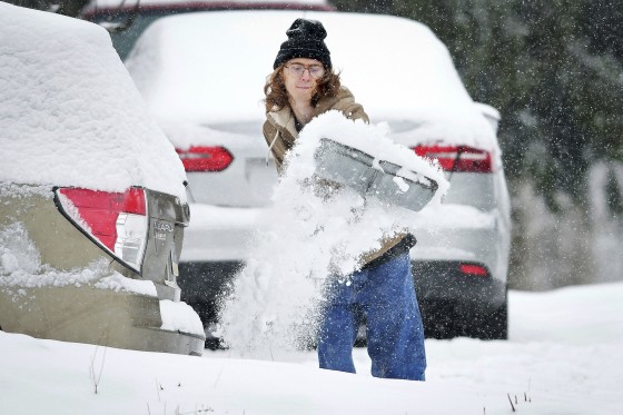
Winter storms are predicted to hit much of the eastern two-thirds of the United States this weekend and early next week.
However, several areas of the Northeast saw moderate snowfall on Friday afternoon before to the major system’s arrival. Through Friday night, this system could bring 1 to 2 inches of snow from Maryland to southern New Jersey.
During the evening commute, there will be some light snowfall in certain areas of the Interstate 95 corridor between Washington, D.C., and New York.
However, a considerably larger and more powerful winter storm has prompted winter advisories for almost 45 million people from Kansas to Maryland. It will cover the eastern two-thirds of the nation from Saturday to Monday.
The National Weather Service stated on X that “severe travel disruptions are expected on Sunday, with impacts beginning in the Central Plains by late Saturday.” “The storm will then track into the Mid-Atlantic Sunday night and into Monday.”
Travel conditions will be hazardous as heavy snow, substantial ice, and thunderstorms move from the Rocky Mountains to the east coast. With 6 to 12 inches of snowfall and.25 to 5 inches of ice buildup, cities like St. Louis, Indianapolis, and Cincinnati might get the worst of the snow and ice. Tree limbs may fall under these circumstances, and power outages may result.
“A combination of wind gusts greater than 35 mph and heavy snowfall rates may lead to blizzard conditions in the Central Plains by Sunday morning,” according to the weather service on X. “Whiteout conditions will make driving dangerous to impossible, and raise the risk of becoming stranded.”
From southeastern Texas to Mississippi and southern Tennessee, seven million people might be affected by the severe storms that are expected to roar throughout the South on Sunday.
“Hazardous sleet and freezing rain are anticipated from eastern Kansas and the Ozarks, extending eastward to the Ohio Valley,” the National Weather Service stated. Parts of the central Appalachians may also experience icing on Sunday and into Sunday night. Treacherous travel conditions are expected, with power outages likely in areas with over a quarter-inch of ice accumulation due to freezing rain.”
Monday will be a messy day in the Ohio Valley, Mid-Atlantic and the Northeast as the storm impacts Pittsburgh, Richmond, Washington D.C., Baltimore and Philadelphia. The region south of New York City may experience the highest snowfall totals.
Behind this storm, Arctic air will spill down from Canada and temperatures for much of next week will be well below average from the northern Plains to the Southeast.
Note: Every piece of content is rigorously reviewed by our team of experienced writers and editors to ensure its accuracy. Our writers use credible sources and adhere to strict fact-checking protocols to verify all claims and data before publication. If an error is identified, we promptly correct it and strive for transparency in all updates, feel free to reach out to us via email. We appreciate your trust and support!
