
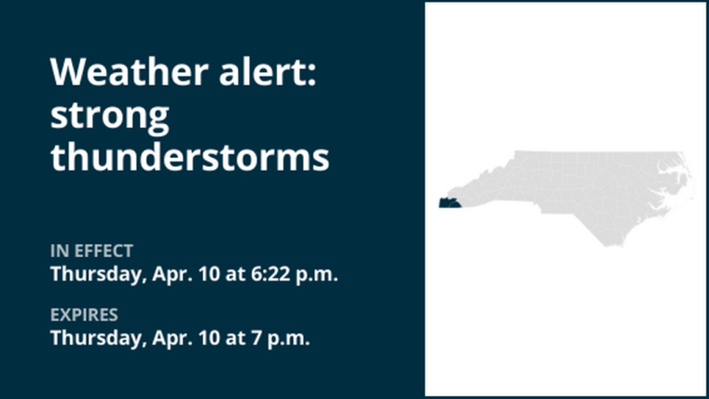
A severe thunderstorm watch has been issued for portions of North Carolina and South Carolina, including the North Carolina counties of Cherokee, Clay, Graham, Jackson, Macon, and Swain, as well as Oconee County in South Carolina. The watch is in effect until midnight tonight.
The National Weather Service issued the watch at 5:00 PM EDT on Thursday, April 10, and it will remain active until midnight EDT.
Forecasters warn that the approaching storm system could produce severe thunderstorms, potentially bringing heavy rain, strong winds, and hail.
Residents in the affected areas are encouraged to stay alert, monitor local weather updates, and take precautions as needed.
This includes securing loose outdoor items, staying indoors if storms approach, and avoiding travel during deteriorating weather conditions.
Although no individual warnings have been issued at this time, a watch means that conditions are favorable for severe weather development.
The storm system is expected to impact the region over the next several hours, with the possibility of intense thunderstorms developing.